PA
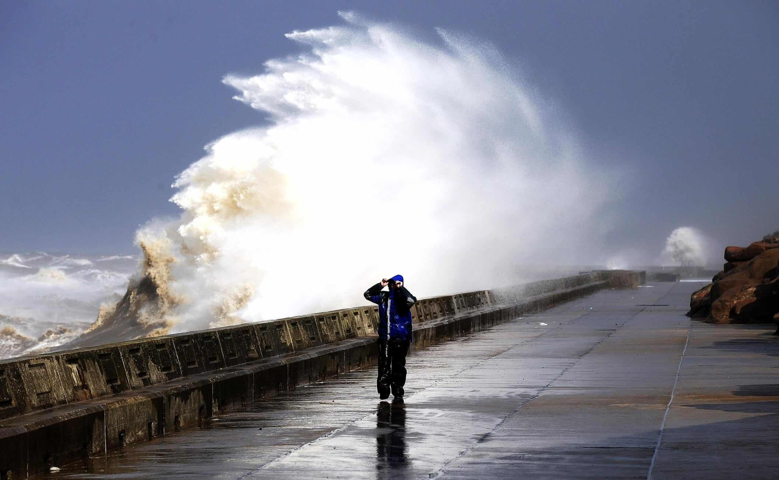
A rare red weather warning stating there is a “risk to life” has been issued for parts of Scotland as Storm Babet is expected to batter the UK on Thursday.
The UK is bracing for heavy wind and rain from the storm, which is currently hitting Ireland after sweeping in from the Atlantic.
The Met Office has issued an amber weather warning for parts of eastern Scotland on Thursday, while yellow warnings for rain cover eastern England and the rest of Scotland on Friday.
The red warning states there is “danger to life from fast flowing or deep floodwater” in Aberdeenshire and Angus, with extensive flooding and road closures also expected.
This is the first red warning for rain issued in the UK since Storm Dennis in February 2020.
There could also be power cuts and some areas could be cut off for days.
Storm Babet, a complex area of low pressure which developed to the west of the Iberian Peninsula, was named by the Met Office on Monday morning.
The second named storm of the season will last until Saturday, the forecaster said, and is expected to cause flooding, power cuts and travel disruption.
On Wednesday, it was causing flooding on roads in Ireland.
Rain warnings for every county in the Republic of Ireland were in place overnight, having come into effect at various stages on Tuesday.
Yellow severe weather warnings have been issued across the week from Thursday until Saturday for a vast swathe of the UK, covering already-saturated parts of Scotland, Northern Ireland, and northern and eastern England.
It has already brought heavy rain and flooding in Northern Ireland on Wednesday.
A Met Office spokesman said the red warning area covered from just north of Dundee up towards Aberdeen, and inland towards Balmoral.
The certainty of the forecast has increased, as has the amount of expected rainfall.
It begins at 6pm on Thursday and is active until midday on Friday.
Chief meteorologist Jason Kelly said: “Confidence has increased in the chances of considerable impacts from rainfall in parts of the east of Scotland from Storm Babet, which has resulted in the escalation to the red warning.
“One hundred to 150mm of rain is expected to fall quite widely within the warning period, with some locations likely to see 200-250mm, which is expected to cause considerable impacts, with flooding likely.”
He continued: “Storm Babet will track gradually northwards in the coming days, and although the most significant impacts are expected within the red and amber warning areas, there will still be wider impacts for much of the UK from this wind and rain.”
David Morgan, flood duty manager for the Scottish Environment Protection Agency (Sepa), urged people in the affected areas to check for flood updates in the coming days.
He said: “Storm Babet will bring heavy rain and high winds across Scotland from Wednesday evening, starting in the south-west before moving across to the north-east through Thursday and into the weekend.
“Impacts from surface water and rivers are likely, and with catchments saturated from recent heavy rain and flooding, we’re urging people to be prepared for potential flooding.
“There is also concern that surface-water flooding may be exacerbated by debris blocking drainage, culverts, etc. as a result of the high winds.”
First Minister Humza Yousaf warned against all but essential travel in the parts of Scotland affected by the red warning.
He posted on Twitter: “Please be aware of the challenging weather we are due to experience across Scotland, most severe from Thursday 18:00 – Friday 12:00.
“Weather warning across Angus & the North East has been upgraded to red.
“Travel should be avoided unless absolutely essential.”
Related: Ringleader in gang that smuggled 10k migrants to UK in small boats jailed